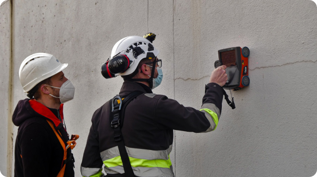
Ingénieure en hydraulique urbaine, Sarah est titulaire du diplôme Eau et Génie Civil de l’École Nationale Supérieure d’Ingénieurs de Poitiers (ENSIP). Sarah est cheffe de projet en hydraulique urbaine et conduit des schémas directeurs d’eau potable et d’assainissement.
Lauréat du Grand Prix Marque Employeur et QVT du Sommet des Entreprises de croissance et labellisé Great Place to Work, Altereo contribue depuis sa création à l’adaptation des territoires au défi du changement climatique.
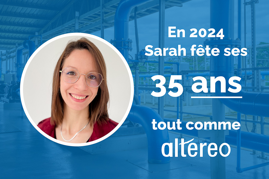
Sarah et Altereo se sont trouvés en 2020 et s’enrichissent mutuellement au quotidien. Bon anniversaire à tous les deux !